Terms of Use
Last updated: July 3, 2026
Agreement
By using Birdseye Baltimore (the "Service"), operated by Majestic Light, you agree to these Terms. If you do not agree, do not use the Service.
Description
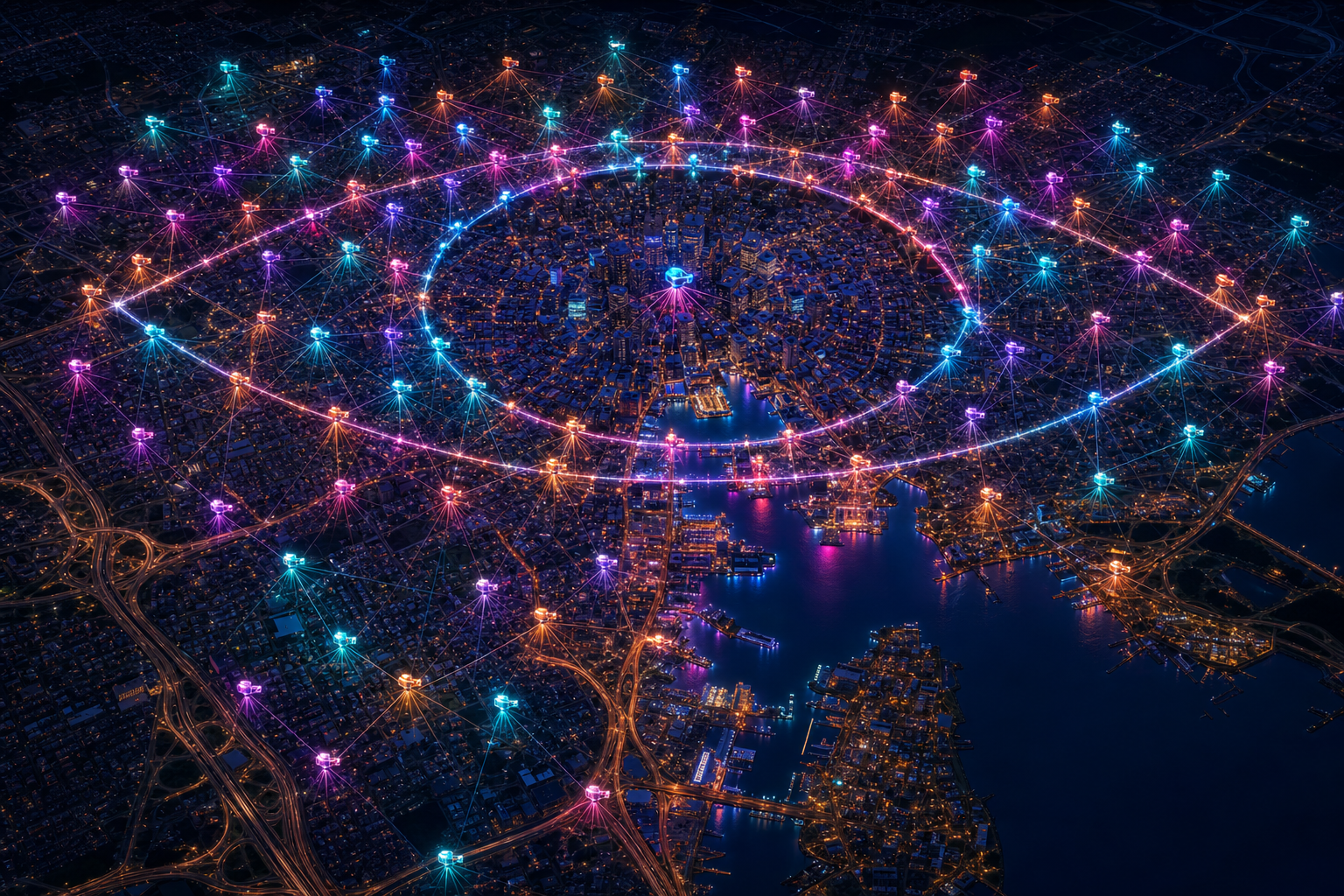
Birdseye Baltimore provides an interactive map of public and publicly embeddable cameras in the Baltimore metropolitan area. Free and Pro tiers differ in features and viewing limits.
No affiliation
Birdseye Baltimore is independent — not affiliated with Maryland, Baltimore City, MDOT, any broadcaster, or the Now You See Me films. Our "Eye" lore is thematic inspiration only. Camera feeds remain the property of their owners.
Acceptable use
You agree not to use the Service unlawfully, scrape data beyond normal use, bypass access controls, or disrupt the Service or third-party feeds.
Camera content & takedowns
Feeds may go offline or change without notice. Rights holders may request removal at team@majesticlight.org. See our Privacy Policy.
Disclaimer
THE SERVICE IS PROVIDED "AS IS" WITHOUT WARRANTIES. DO NOT RELY ON IT FOR EMERGENCY RESPONSE OR SAFETY-CRITICAL DECISIONS. USE OFFICIAL GOVERNMENT SOURCES FOR AUTHORITATIVE TRAFFIC, WEATHER, AND PUBLIC-SAFETY INFORMATION.
Contact
Questions? Email team@majesticlight.org.